
Anúncios
Navigating by the sun and shadows is one of humanity’s oldest survival skills, offering a reliable way to find your bearings when modern technology fails.
🌞 Why Ancient Navigation Methods Still Matter in the Modern Age
In an era dominated by GPS satellites and smartphone apps, the idea of using shadows to determine your position might seem quaint or outdated. Yet experienced explorers, survival enthusiasts, and maritime navigators understand that technology can fail at the worst possible moments. Batteries die, devices break, and electronic systems malfunction. The sun, however, rises every day with astronomical precision, providing a constant reference point for those who know how to read its language.
Anúncios
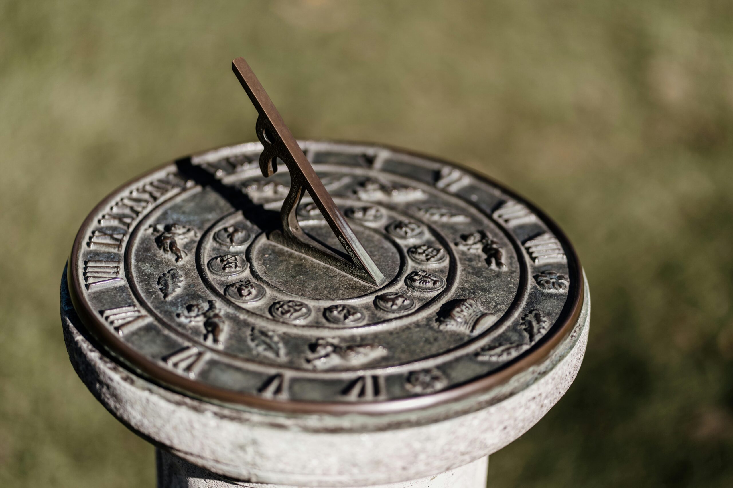
The gnomon—essentially a vertical stick or post that casts a shadow—represents one of the simplest yet most sophisticated navigational tools ever devised. Ancient civilizations from Egypt to China used gnomons not only for navigation but also for tracking time, seasons, and celestial events. Today, mastering portable gnomon techniques offers outdoor enthusiasts a profound connection to these timeless practices while providing a practical backup navigation system.
Understanding the Fundamental Principles of Shadow Navigation
Before diving into practical techniques, it’s essential to grasp the astronomical principles that make shadow navigation possible. The Earth rotates on an axis tilted approximately 23.5 degrees relative to its orbital plane around the sun. This tilt, combined with your position on Earth’s surface, determines the angle and direction of shadows throughout the day.
Anúncios
At solar noon—when the sun reaches its highest point in the sky—shadows point directly toward true north in the Northern Hemisphere and true south in the Southern Hemisphere. The length of this noon shadow varies dramatically depending on your latitude and the time of year, creating the foundation for latitude estimation.
The Geometry Behind Shadow-Based Latitude Calculations
Your latitude can be calculated by measuring the angle of the sun above the horizon at solar noon. This solar altitude angle relates directly to your geographic position. The formula is remarkably straightforward: your latitude equals 90 degrees minus the sun’s altitude angle, adjusted for the sun’s declination on that particular date.
The sun’s declination—its angular distance from the celestial equator—varies throughout the year from approximately +23.5 degrees at the summer solstice to -23.5 degrees at the winter solstice. During the equinoxes, the declination is zero, making these periods particularly straightforward for navigation calculations.
🎒 Essential Equipment for Portable Gnomon Navigation
One of the greatest advantages of gnomon navigation is its minimal equipment requirements. You don’t need expensive instruments or specialized gear—just a few simple items that can fit in any survival kit or backpack.
Building Your Navigation Kit
- A straight stick or pole: Ideally 30-100 cm in length, perfectly straight, and portable. Collapsible hiking poles work excellently.
- A level surface finder: A small bubble level or even a container of water can help ensure your gnomon stands truly vertical.
- Measuring tools: A tape measure, ruler, or marked string for measuring shadow lengths.
- A protractor or angle-finding app: For measuring shadow angles directly.
- Waterproof paper and pencil: For recording measurements and performing calculations.
- A reliable timepiece: While not strictly necessary, knowing approximate local time helps identify solar noon.
- Declination tables or ephemeris data: Small printed cards with solar declination values for different dates.
Many experienced navigators create compact gnomon kits stored in small pouches, ensuring they’re always prepared for celestial navigation opportunities. The total weight rarely exceeds 200 grams, making this an incredibly efficient addition to any outdoor gear collection.
The Shadow-Tip Method: Your First Technique
The shadow-tip method represents the most accessible entry point into gnomon navigation. This technique requires minimal calculation and can provide directional information within minutes, making it perfect for quick orientation checks.
Begin by pushing your gnomon vertically into level ground, ensuring it stands as straight as possible. Mark the tip of the shadow it casts with a small stone, stick, or scratch in the ground. Wait 15-20 minutes, then mark the new shadow tip position. The line connecting these two marks runs approximately east-west, with the first mark representing west and the second mark representing east in the Northern Hemisphere.
Refining the Shadow-Tip Technique for Better Accuracy
While the basic shadow-tip method provides quick directional reference, several refinements dramatically improve accuracy. Taking measurements closer to solar noon, when the sun moves more directly east-west, reduces errors. Using a longer gnomon creates longer shadows that minimize marking imprecision. Taking three or more measurements over 30-45 minutes allows you to average results for better reliability.
The shadow-tip method works worldwide and requires no knowledge of your approximate location, making it ideal for survival situations where you might be completely disoriented. However, it provides direction rather than latitude, so it serves as a complementary technique to the more precise methods discussed below.
📐 The Solar Noon Shadow Method for Latitude Determination
The solar noon shadow method offers the most straightforward approach to latitude estimation using a gnomon. This technique leverages the sun’s highest daily position to determine your north-south geographic coordinate.
The process begins several hours before local noon. Set up your gnomon on level ground, ensuring perfect verticality using a plumb line, bubble level, or water-level technique. Throughout the morning, the shadow will gradually shorten as the sun climbs higher. Mark the shadow tip every 15-30 minutes, noting each position. The shadow will reach its minimum length at solar noon, then begin lengthening again as afternoon progresses.
Calculating Latitude from Shadow Length
Once you’ve identified the shortest shadow—your solar noon shadow—the calculation becomes straightforward. Measure both the gnomon height and the shadow length precisely. The shadow angle can be calculated using the arctangent function: shadow angle equals arctan(gnomon height divided by shadow length).
This shadow angle represents the sun’s altitude above the horizon at solar noon. Your latitude then equals 90 degrees minus this solar altitude angle, plus or minus the sun’s declination for that specific date. During the vernal or autumnal equinox, when declination equals zero, the calculation simplifies to just: latitude equals 90 degrees minus shadow angle.
For example, if your 50 cm gnomon casts a 40 cm shadow at solar noon during an equinox, the shadow angle is arctan(50/40) equals approximately 51.3 degrees. Your latitude would be 90 minus 51.3 equals 38.7 degrees—roughly the latitude of Washington DC or San Francisco.
⏰ Determining True Solar Noon Without a Watch
While a timepiece helps identify solar noon, you can determine this critical moment through observation alone. The equal shadow method involves marking morning shadows at a specific length, then waiting until afternoon when the shadow returns to exactly that same length. Solar noon occurs precisely halfway between these two times.
Alternatively, simply monitor shadow length continuously around midday. The moment when the shadow stops shortening and begins lengthening marks solar noon. This observation method requires patience but eliminates any need for timekeeping devices.
Accounting for the Equation of Time
Clock time and solar time differ throughout the year due to Earth’s elliptical orbit and axial tilt—a phenomenon called the equation of time. This difference can reach up to 16 minutes, potentially affecting navigation accuracy. Serious navigators carry equation-of-time tables or use the analemma—that figure-eight pattern seen on some globes—to correct their solar noon predictions based on the date.
Advanced Technique: The Shadow Arc Method
The shadow arc method provides latitude information without waiting for solar noon, making it valuable when time constraints exist or when clouds might obscure the sun at midday.
Draw a circle on the ground around your gnomon base, using the gnomon height as the radius. As the sun moves across the sky, the shadow tip will trace a path. Mark the points where this shadow path intersects your circle—typically two points, one in morning and one in afternoon. The line connecting these intersection points runs east-west, while a perpendicular line through the gnomon base indicates north-south.
Extracting Latitude from Arc Geometry
The shadow arc’s curvature and position relative to your circle encode latitude information. Measuring the distance from the circle’s center to the shadow arc at solar noon, combined with geometric calculations involving the circle radius, yields latitude estimates. This method requires more complex calculations but offers the advantage of not depending on a single critical measurement moment.
🧭 Seasonal Considerations and Declination Adjustments
The sun’s declination—its position relative to Earth’s equator—changes daily, cycling through approximately 47 degrees of variation annually. Ignoring declination when calculating latitude introduces errors up to 23.5 degrees, rendering navigation useless. Successful gnomon navigation absolutely requires declination data.
During the summer solstice (approximately June 21), the sun’s declination reaches +23.5 degrees, meaning it stands directly overhead at the Tropic of Cancer. At winter solstice (around December 21), declination reaches -23.5 degrees, with the sun overhead at the Tropic of Capricorn. The equinoxes (roughly March 20 and September 22) offer zero declination, simplifying calculations significantly.
Creating a Personal Declination Reference
Smart navigators carry declination tables or remember key values. A simplified approach memorizes that declination changes approximately 0.4 degrees daily near equinoxes and more slowly near solstices. For survival situations, even rough declination estimates improve accuracy dramatically compared to ignoring this factor entirely.
Common Errors and How to Avoid Them
Even experienced practitioners encounter challenges with gnomon navigation. Understanding common pitfalls helps maintain accuracy and confidence in your results.
A non-vertical gnomon represents the most frequent error source. Even a few degrees of tilt dramatically affects shadow geometry and calculations. Always verify verticality using multiple methods—a plumb line, bubble level, or by checking the gnomon’s shadow length equality at equal time intervals before and after noon.
Environmental Factors That Compromise Accuracy
Uneven ground creates measurement errors, as does atmospheric refraction near the horizon. Taking measurements when the sun exceeds 20 degrees altitude minimizes refraction effects. Wind causing gnomon movement, parallax errors when reading shadow tips from incorrect angles, and temperature-induced measurement tool expansion all introduce subtle inaccuracies that compound in final calculations.
The solution involves multiple measurements, averaging results, and maintaining realistic expectations. Under field conditions, achieving latitude accuracy within 1-2 degrees represents excellent performance. This precision suffices for regional navigation and orientation, though it won’t pinpoint your exact position.
🗺️ Integrating Gnomon Navigation with Modern Tools
Rather than viewing shadow navigation as a complete replacement for modern technology, savvy navigators integrate both approaches. GPS provides precise coordinates but requires power and satellite visibility. Gnomon techniques offer independent verification and backup capabilities.
Many navigators use GPS to record initial positions, then practice gnomon techniques at known locations to develop proficiency. This training approach builds confidence and reveals personal error patterns that can be corrected through practice. When actual navigation emergencies arise, this experience becomes invaluable.
Smartphone Apps as Learning and Backup Tools
Several smartphone applications help navigate and understand celestial mechanics. Sun position calculators show solar altitude and azimuth for any time and location, allowing you to verify gnomon measurements. Compass apps with declination correction help orient shadow readings to true north. Ephemeris applications provide solar declination data without carrying printed tables.
These digital tools enhance learning gnomon navigation by providing immediate feedback on technique and calculations. However, the goal remains developing the ability to navigate without electronics when circumstances demand it.
Historical Context: Learning from Ancient Masters
Modern gnomon techniques descend from millennia of accumulated wisdom. Ancient Greek geographers like Eratosthenes used gnomon measurements at different locations to calculate Earth’s circumference with remarkable accuracy around 240 BCE. Arab navigators perfected shadow-based latitude determination during the Islamic Golden Age, creating sophisticated instruments like the kamal for measuring celestial angles.
Polynesian navigators, though not using gnomons in the traditional sense, developed equally sophisticated techniques for reading the sun’s position relative to the horizon and their vessels. Their holistic approach to natural navigation—integrating multiple environmental cues—offers valuable lessons for modern practitioners.
⚡ Quick-Reference Guide for Field Use
When you’re in the field, lengthy calculations become impractical. Experienced navigators develop quick estimation methods for rapid orientation.
| Shadow/Gnomon Ratio | Approximate Latitude (Equinox) | Example Location |
|---|---|---|
| 0.25 | 76° | Northern Greenland |
| 0.50 | 63° | Iceland, Alaska |
| 0.75 | 53° | Southern UK, Central Europe |
| 1.00 | 45° | Northern Italy, Central US |
| 1.50 | 34° | Los Angeles, Atlanta |
| 2.00 | 27° | Southern Florida, Northern India |
This table provides quick latitude estimates at equinox using the shadow-to-gnomon-height ratio. For other dates, adjust approximately 1 degree per 1.5 degrees of solar declination toward the sun’s position.
Practical Exercises to Build Proficiency
Theoretical knowledge transforms into practical skill only through repeated practice. Begin at known locations where you can verify results against GPS coordinates. Set up your gnomon on clear days and work through the complete measurement and calculation process.
Challenge yourself with progressively difficult scenarios: estimate latitude without any calculation tools using only memorized ratios; practice on cloudy days when you must work quickly during brief sunny moments; attempt measurements while traveling, adapting techniques to moving platforms; create improvised gnomons from natural materials rather than prepared equipment.
Developing Intuitive Understanding
Over time, regular practitioners develop an intuitive sense for shadow angles and positions. You begin recognizing latitude zones by shadow characteristics, similar to how experienced sailors read wave patterns or meteorologists interpret cloud formations. This intuition provides quick orientation checks and increases confidence in your calculated results.
🌍 Adapting Techniques for Different Hemispheres
Gnomon navigation principles apply globally, but practical details vary between hemispheres. Northern Hemisphere navigators become accustomed to noon shadows pointing north, while Southern Hemisphere practitioners expect southward shadows. Near the equator, seasonal variations become extreme—the sun passes directly overhead twice yearly, creating no noon shadow at all on those dates.
Tropical navigators must understand that solar altitude exceeds 90 degrees minus their latitude for portions of the year, meaning the sun passes north of zenith in the Northern Hemisphere tropics and south of zenith in Southern Hemisphere tropics. These conditions require adjusting calculation formulas and interpretation approaches.
Embracing the Journey of Celestial Navigation
Mastering gnomon navigation represents more than acquiring a practical skill—it connects you to the fundamental relationship between Earth, sun, and human observation. Each measurement deepens your understanding of planetary geometry and celestial mechanics. You begin noticing solar positions throughout daily life, recognizing seasonal changes in light quality and shadow angles.
This awareness extends beyond navigation itself, fostering appreciation for the astronomical knowledge humanity developed through centuries of careful observation. Modern GPS technology offers convenience and precision, but it distances us from direct environmental engagement. Shadow navigation reverses this trend, anchoring orientation in immediate, tangible phenomena.
Whether you’re a wilderness backpacker seeking backup navigation methods, a sailing enthusiast honoring maritime traditions, or simply someone fascinated by traditional skills, portable gnomon techniques offer accessible entry into the timeless art of finding your way by sun and shadow. The techniques require no batteries, no subscriptions, and no satellites—just knowledge, observation, and the eternal dance between our planet and its star. 🌅